plans
Fire brigade road maps
Fire brigade maps are used by the CGDIS fire brigade for quick orientation in the event of fire. They are created in accordance with the DIN 14675 standard and in agreement with the fire brigade CGDIS. The presence of the cards is one of the prerequisites for activating the fire alarm system at the fire brigade.
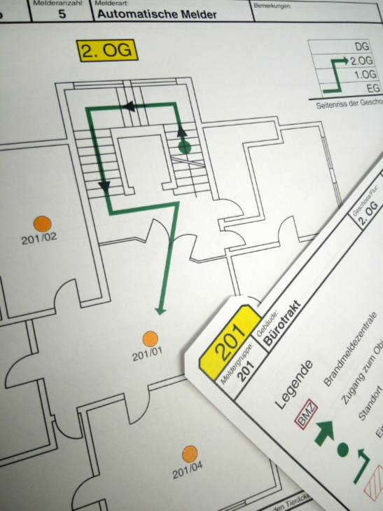
Fire brigade maps are object-specific maps that enable the fire brigade to quickly find their way around buildings in the event of an alarm. Using the maps, the fire brigade can quickly locate the fire detector that triggered the alarm.
In order to show the fire brigade, the way from the fire alarm center to the triggered fire detector, fire brigade route cards are always kept at the fire alarm center. By default, on the front they show a situation plan of the building with fire protection equipment such as fire alarm center (BMZ), fire brigade key depot (FSD), fire brigade control panel (FBF) etc. On the back there is a detailed floor plan in which the exact location of the individual detectors in a detector group is entered.
